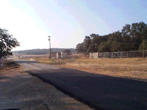
AOC-35, View Facing Northwest - January 1999
Site Status: Closed (February 2003)
Background
Plans (Volume 1-3)
Investigation Reports (Volume 3-2)
Section 7 of Technical Memorandum on Soil Gas Surveys (June 1996)
Tables
Table AOC35-1 Summary of Chemical Constituents Detected in Soils (April 2000)
Figures
Figure AOC35-1 Site Location Map
Figure AOC35-2 Soils and Topographic Map
Figure AOC35-3 Geologic Setting
Figure AOC35-4 Sample Location Map
Figure AOC35-5 PCE Soil Gas Contour Map
Figure AOC35-6 Geophysical Survey Grid Location Map
Figure AOC35-7 Quadrature Phase Electromagnetic Data
Figure AOC35-8 In-Phase Electromagnetic Data
Figure AOC35-9 Ground Penetrating Radar Profile 41
Figure AOC35-10 Ground Penetrating Radar Profile 44