[Home]

[Volume 1-2]

SWMU B-19 Links

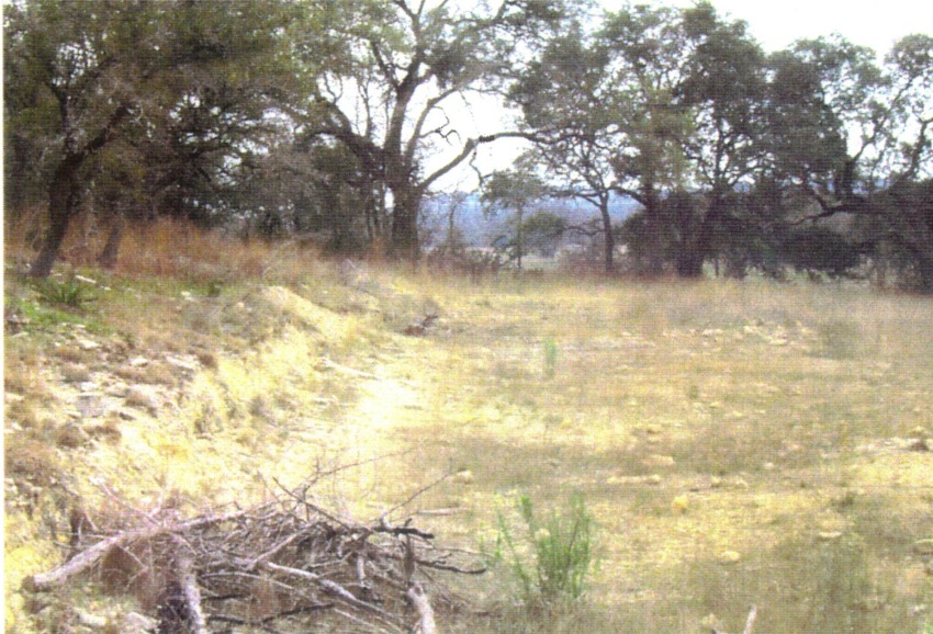
SWMU B-19, view facing south - March 1999

Site Status: Closed (September 2002)

Background

Description in Current Conditions Report (July 1999)

Chronology

Aerial Photograph

Figure B19-1 Plan View Map

Plans (Volume 1-2)

RL17 RFI Work Plan (February 1996)

RL17 Work Plan Amendment for Data Quality Rework (May 2000)

Investigation Reports (Volume 3-1)

List of Relevant Previous Investigation Reports

Section 7, Technical Memorandum on Surface Geophysical Surveys, Well 16 Source Characterization (June 1995)

Section 7, Technical Memorandum on Soil Boring Investigation (June 1995)

Addendum to Technical Memorandum on Soil Boring Investigation (August 1995)

RCRA Facility Investigation/Closure Report (June 2002)

Tables

Table B19-1  Chemical Constituents Detected in Soil (February 1995)

Table B19-2  Chemical Constituents Detected in Groundwater (June 1995)

Table B19-3  Summary of Chemical Constituents Detected in Soil (March 2000)

Figures

Figure B19-1  Site Location Map

Figure B19-2  Soils and Topographic Map

Figure B19-3  Geologic Setting

Figure B19-4  Sample Location Map

Soil Boring Logs (February 1995)