[Home]

[Volume 1-2]

SWMU B-34 Links

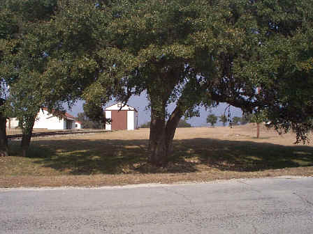
SWMU B-34 View Facing North - January 1999

Site Status: Closed (April 2014)

Background

Description in Current Conditions Report (July 1999)

Chronology

Aerial Photograph

Figure B34-1 Plan View Map

Plans (Volume 1-2)

RL17 RFI Work Plan (February 1996)

RL17 Work Plan Amendment for Data Quality Rework (October 1999)

TO0019 Work Plan Addendum (December 2003)

Investigation Reports (Volume 3-1)

RCRA Facility Investigation Report (August 2002)

Addendum to RCRA Facility Investigation Report (August 2003)

Site-Specific Closure Report

  Site-Specific Addendum Report (June 2020)

Tables

Table B34-1  Summary of Chemical Constituents Detected in Surface Soil (March 2000)

Figures

Geophysical Anomaly Map

Figure B34-1   Sample Location Map

Figure B34-2   Soils and Topographic Map

Figure B34-3   Geologic Setting

Figure B34-4   Sample Location Map

Figure B34-5   In-Phase Electromagnetic Data

Figure B34-6   Quadrature Phase Electromagnetic Data