[Home]
SWMU B-31 Links
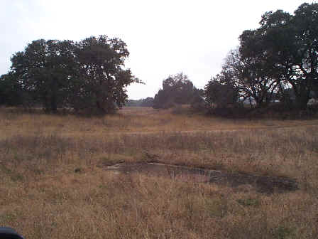
SWMU B-31 View Facing South - January 1999
Site Status: Closed (November 2002)
Background
Plans (Volume 1-2)
|
RL17 Work Plan Amendment for Data Quality Rework (October 1999) |
Investigation Reports (Volume 3-1)
Tables
|
Table B31-1 Summary of Chemical Constituents Detected in Soil - Surface Soil Samples (March 2000) |
|
|
Table B31-1 Summary of Chemical Constituents Detected in Soil - Subsurface Soil Samples (March 2000) |
Figures
|
Figure B31-5 Excavation of Test Pit in Progress at SWMU B-31 (July 1997) |
|
|
Figure B31-6 The Active Sanitary Pipe at SWMU B-31 9 (July 1997) |
|
Boring Logs