[Home]

SWMU B-12 Links

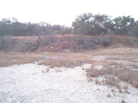
SWMU B-12, view facing south. January 1999

Site Status: Closed (July 2005)

Background

Description in Current Conditions Report (July 1999)

Chronology

Aerial Photograph

Figure B12-1 Plan View Map

Plans (Volume 1-2)

RL17 RFI Work Plan (February 1996)

RL17 Work Plan Amendment for Data Quality Rework (May 2000)

TO0019 Work Plan (December 2003)

Investigation Reports (Volume 3-1)

List of Relevant Previous Investigation Reports

Section 5 of the Technical Memorandum on Geophysical Survey (October 1995)

RCRA Facility Investigation Report (July 2002)

RCRA Facility Investigation Closure Report (April 2005)

Tables

Table B12-1  Summary of Chemical Constituents Detected in Soil (March 2000)

Figures

Anomaly Data Map

Figure B12-1  Sample Location Map (July 2002)

Figure B12-2  Soils and Topographic Map (July 2002)

Figure B12-3  Geologic Setting (July 2002)

Figure B12-4  Sample Location Map (July 2002)

Boring Logs

B12-SB1 through B12-SB4 (September 1996/March 2000)