[Home] [Master Table of Contents]
[Volume 1-3 Table of Contents]
AOC 61 Links
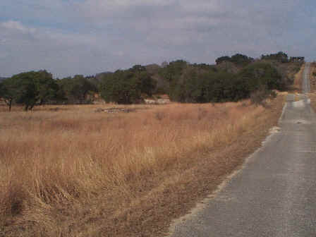
AOC 61, View Facing Northwest - January 1999
Site Status: Closed (February 2003)
Background
| | |
| | |
| |
Plans (Volume 1-3)
| | |
| | Figure AOC61-1 Geophysical Survey and Surface Soil Sampling Points |
Investigation Reports (Volume 3-2)
RCRA Facility Investigation/Closure Report (October 2002)
Tables
Table AOC61-1 Summary of Chemical Constituents Detected in Surface Soil (January 2000)
Figures
Figure AOC61-1 Site Location Map (October 2002)
Figure AOC61-2 1966 Aerial Photograph of AOC 61 (October 2002)
Figure AOC61-3 1973 Aerial Photograph of AOC 61 (October 2002)
Figure AOC61-4 Soils and Topographic Map (October 2002)
Figure AOC61-5 Geologic Setting (October 2002)
Figure AOC61-6 Sample Location Map (October 2002)
Figure AOC61-7 Geophysical Survey Grid (October 2002)
Figure AOC61-8 In-Phase Electromagnetic Data (October 2002)
Figure AOC61-9 Quadrature Phase Electromagnetic Data (October 2002)
Figure AOC61-10 Ground Penetrating Radar Profile 33 (October 2002)