[Home] [Master Table of Contents]

[Volume 1-3 Table of Contents]

AOC 42 Links

(AOC 42 was formerly known as "Salado Creek")

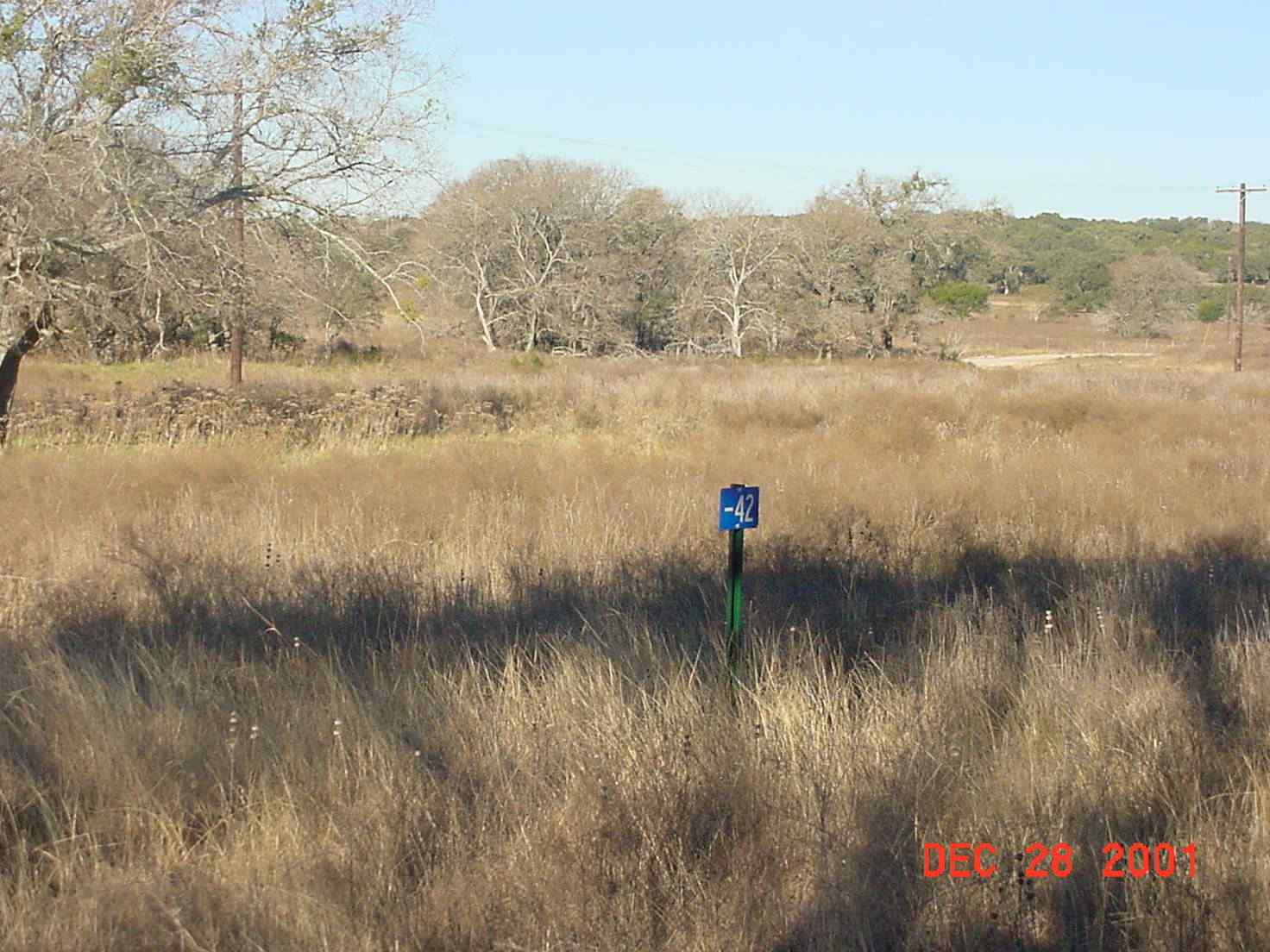
AOC 42, View Facing Northwest - December 2001

Site Status: Closed (December 2011)

Background

Description in Current Conditions Report (July 1999)

Chronology

Aerial Photograph

Plans (Volume 1-3)

AETC RFI Work Plan Addendum (February 2001)

Work Plan/Sampling and Analysis Plan Addendum for the Salado Creek Area Anomalies (March 2011)

Investigation Reports (Volume 3-2)

List of Relevant Previous Investigation Reports

Section 11.6 of Technical Memorandum on Surface Geophysical Surveys, Well 16 Source Characterization (June 1995)

Geophysical Anomaly Map (June 1995)

Section 9.5, Technical Memorandum on Soil Gas Surveys (June 1996)

RCRA Facility Investigation Report (October 2002)

Release Investigation Report, Salado Creek Area: Areas of Concern 42, 52, 58, and 62 (September 2011)

Tables

Table AOC42-1 Summary of Chemical Constituents Detected in Surface Soils (March 2001)

Table AOC42-2 Summary of Chemical Constituents Detected in Subsurface Soil and Rock (March 2001)

Figures

Figure AOC42-1   Site Location Map

Figure AOC42-2   Soils and Topographic Map

Figure AOC42-3   Geologic Setting

Figure AOC42-4   Sample Location Map

Figure AOC42-5   PCE Soil Gas Contour Map

Figure AOC42-6   Geophysical Survey Grid Area with Ground Penetrating Radar Profiles

Figure AOC42-7   Electromagnetic Data, In-Phase

Figure AOC42-8   Electromagnetic Data, Quadrature Phase

Figure AOC42-9   Ground Penetrating Radar Profile - 15

Figure AOC42-10   Ground Penetrating Radar Profile - 17

Figure AOC42-11   Ground Penetrating Radar Profile - 35

Figure AOC42-12   Ground Penetrating Radar Profile - 37

Figure AOC42-13   Overview of In-Phase EM Data in AOC-42 Area