<

[Home]

[Volume 1-2 ]

SWMU B-9 Links

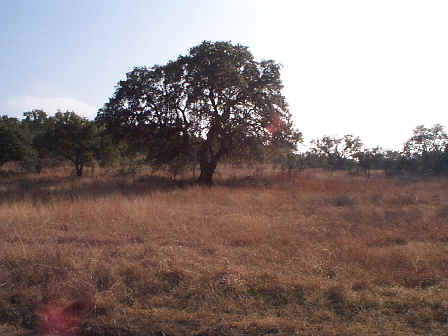
SWMU B-9 View Facing South - January 1999

Site Status: Closed (March 2003)

Background

Description in Current Conditions Report (July 1999)

Chronology

Aerial Photograph

Figure B9-1 Plan View Map

B-9 Additional Photograph


Plans (Volume 1-2)

RL17 RFI Work Plan (February 1996)

RL53 Work Plan Addendum (March 1998)

DO 5068 RFI Work Plan (December 1999)

RL17 Work Plan Amendment for Data Quality Rework (October 1999)


Investigation Reports (Volume 3-1)

RCRA Facility Investigation/Closure Report (September 2002)

Tables
   

Table B9-1  Summary of Chemical Constituents Detected in Soil (March 2000)

Figures
<

Figure B9-1  Sample Location Map (September 2002)

Figure B9-2  Soils and Topographic Map (September 2002)

Figure B9-3  Geologic Setting (September 2002)

Figure B9-4 Geophysical Survey Grid and GPR Profile Locations (September 2002)

Figure B9-5  Sample Location Map (September 2002)

Figure B9-6  In-Phase Electromagnetic Data (September 2002)

Figure B9-7  Quadrature Phase Electromagnetic Data (September 2002)

Figure B9-8 Ground Penetrating Radar Profile 11 (September 2002)

Boring Logs (March 2000)