[Home]
[Volume 1-2]
SWMU B-5 Links
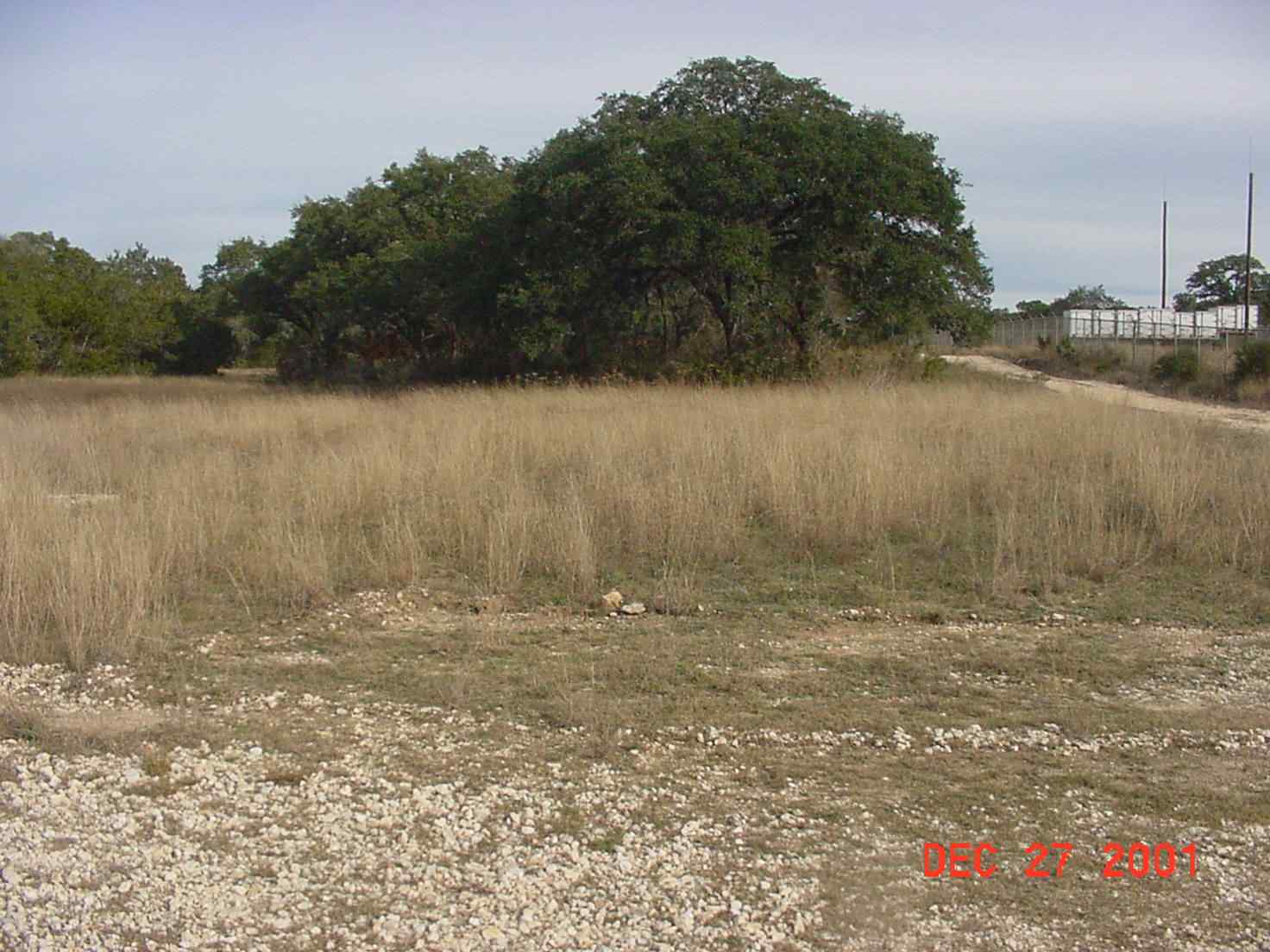
SWMU B-5 View Facing East - December 2001
Site Status: Closed (October 2002)
Background
Description in Current Conditions Report (July 1999)
Chronology
Aerial Photograph
Figure B5-1 Sample Location Map
Plans (Volume 1-2)
RL17 RFI Work Plan (February 1996)
RL17 Work Plan Amendment for Data Quality Rework (May 2000)
Investigation Reports (Volume 3-1)
RCRA Facility Investigation/Closure Report (June 2002)
Tables
Table B5-1 Summary of Detected Constituents (March 2000)
Figures
Geophysical Anomaly Map
Figure B5-1 Site Location Map
Figure B5-2 Soils and Topographic Map
Figure B5-3 Geologic Setting
Figure B5-4 Sample Location Map
Figure B5-5 Electromagnetic Data In-Phase
Figure B5-6 Electromagnetic Data Quadrature Phase