[Home]

[Volume 1-2]

SWMU B-13 Links

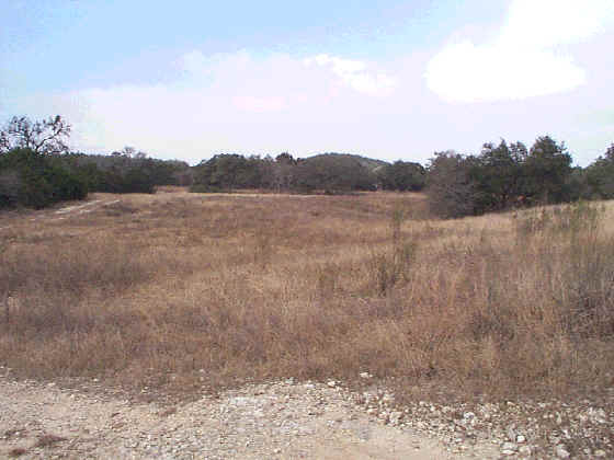
SWMU B-13, view facing north. January 1999

Site Status: Closed (July 2013)

Background

Description in Current Conditions Report (July 1999)

Chronology

Aerial Photograph

Figure B13-1 Plan View Map

Plans (Volume 1-2)

RL17 RFI Work Plan (February 1996)

RL17 Work Plan Amendment for Data Quality Rework (May 2000)

Investigation Reports (Volume 3-1)

RCRA Facility Investigation Report (June 2002)

Release Investigation Report (April 2013)

Tables

Table B13-1   Summary of Chemical Constituents Detected in Soil (June 2003)

Figures

Figure B13-1   Sample Location Map

Figure B13-2   Soils and Topographic Map

Figure B13-3   Geologic Setting

Figure B13-4   Sample Location Map and Geophysical Survey Grid

Figure B13-5   In-Phase Electromagnetic Data

Figure B13-6   Quadrature Phase Electromagnetic Data