[Volume 1-2]
SWMU B-10 Links
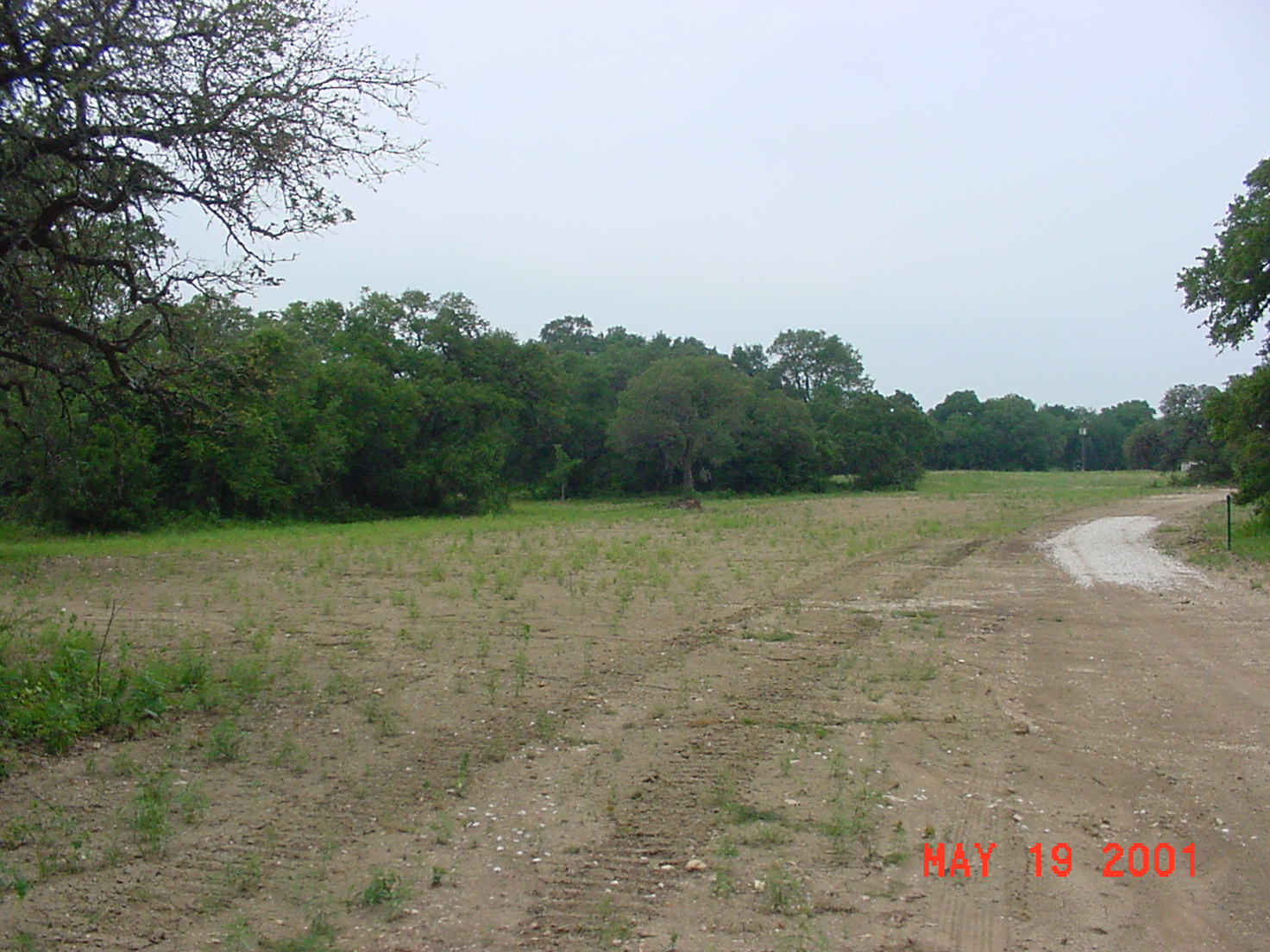
SWMU B-10, view facing north - May 2001
Site Status: Closed (January 2004)
Background
Description in Current Conditions Report (July 1999)
Chronology
Aerial Photograph
Figure B10-1 Plan View Map
Plans (Volume 1-2)
RL17 Work Plan (February 1996)
RL53 Work Plan Amendment (May 2000)
Investigation Reports (Volume 3-1)
RCRA Facility Investigation/Closure Report (May 2003)
Tables
Table B10-1 Summary of Chemical Constituents Detected in Soil Gas (May 2003)
Table B10-2 Summary of Chemical Constituents Detected in Soil (May 2003)
Table B10-3 Summary of Chemical Constituents Detected in Waste Characterization Samples (May 2003)
Table B10-4 Summary of Chemical Constituents Detected in Confirmation Soil Samples (May 2003)
Figures
Figure B10-1 Sample Location Map (May 2003)
Figure B10-2 Soils and Topographic Map (May 2003)
Figure B10-3 Geologic Setting (May 2003)
Figure B10-4 PCE Soil Gas Contour Map (May 2003)
Figure B10-5 Geophysical Grid Survey Map (May 2003)
Figure B10-6 Quadrature Phase Electromagnetic Data Map (May 2003)
Figure B10-7 In-Phase Electromagnetic Data Map (May 2003)
Figure B10-8 Sample Location Map (May 2003)
Figure B10-9 1996 PCE Soil Gas Map
Figure B10-10 Former PIMS Location