[Home] [Master Table of Contents]

[Volume 1-3 Table of Contents]

AOC 58 Links

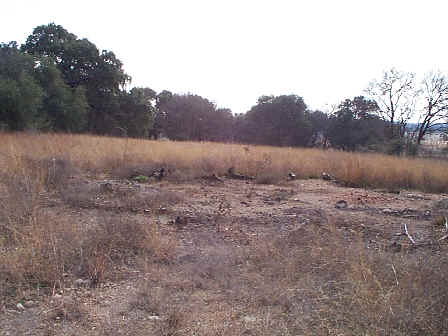
AOC 58, View Facing Southeast - January 1999

Site Status: Closed (December 2011)

Background

Description in Current Conditions Report (July 1999)

Chronology

Aerial Photograph

Plans (Volume 1-3)

RL83 RFI Work Plan Addendum (May 2000)

Figure AOC58-1   Geophysical Survey and Surface Soil Sampling Points

Work Plan/Sampling and Analysis Plan Addendum for the Salado Creek Area Anomalies (March 2011)

Investigation Reports (Volume 3-2)

RCRA Facility Investigation Report (October 2002)

Release Investigation Report, Salado Creek Area: Areas of Concern 42, 52, 58, and 62 (September 2011)

Tables

Table AOC58-1   Summary of Chemical Constituents Detected in Surface Soil (January 2000)

Figures

Figure AOC58-1   Sample Location Map (October 2002)

Figure AOC58-2   Soils and Topographic Map (October 2002)

Figure AOC58-3   Geologic Setting (October 2002)

Figure AOC58-4   Geophysical Survey Grid (October 2002)

Figure AOC58-5   Sample Location Map (October 2002)

Figure AOC58-6   In-Phase Electromagnetic Data (October 2002)

Figure AOC58-7   Quadrature Phase Electromagnetic Data (October 2002)

Figure AOC58-8   Ground Penetrating Radar Profile 15 (October 2002)

Figure AOC58-9   Ground Penetrating Radar Profile 16 (October 2002)

Figure AOC58-10   Ground Penetrating Radar Profile 20 (October 2002)

Figure AOC58-11   Ground Penetrating Radar Profile 26 (October 2002)