[Home

[Volume 1-2]

SWMU I-1 Links

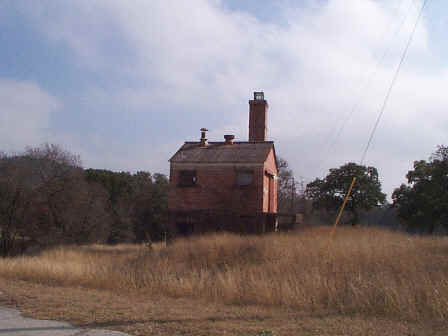
SWMU I-1 View Facing Southeast - January 1999

Site Status: Closed (November 2008)

Background

Description in Current Conditions Report (July 1999)

Chronology

Aerial Photograph

Figure I1-1 Plan View Map

Plans (Volume 1-2)

RL17 RFI Work Plan (February 1996)

RL53 RFI Work Plan (May 2000)

Investigation Reports (Volume 3-1)

RCRA Facility Investigation Report (February 2003)

Release Investigation Report (July 2008)

Tables

Table I1-1  Summary of Soil Gas Results (August 1996)

Table I1-2  Summary of Chemical Constituents Detected in Soil and Rock (March 2000)

Table I1-3  Summary of Chemical Constituents Detected in Surface Wipe Samples (March 2001)

Figures

Figure I1-1  Sample Location Map

Figure I1-2  Soils and Topographic Map

Figure I1-3  Geologic Setting

Figure I1-4  Sample Location Map

Figure I1-5  In-Phase Electromagnetic Data

Figure I1-6  Quadrature Phase Electromagnetic Data

Boring Logs

I1-SB1 through I1-SB3