[Home

[Volume 1-2]

SWMU B-33 Links

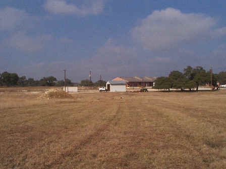
SWMU B-33 View Facing North. January 1999

Site Status: Closed (November 2004)

Background

Description in Current Conditions Report (July 1999)

Chronology

Aerial Photograph

Figure B33-1 Plan View Map

Plans (Volume 1-2 and Volume 1-4)

RL17 RFI Work Plan (February 1996)

RL33 Work Plan Addendum (March 1998)

Waste Analysis Plan (September 1998)

RL17 & RL33 Work Plan Amendment for Data Quality Rework (May 2000)

TO0019 Work Plan Addendum (December 2003)

Investigation Reports (Volume 3-1)

RCRA Facility Investigation Report (August 2002)

Final Closure Report (August 2004)

Tables

Table B33-1  Summary of Chemical Constituents Detected in Soil (March 2000)

Figures

Geophysical Anomaly Map

Figure B33-1  Sample Location Map

Figure B33-2  Soils and Topographic Map

Figure B33-3  Geologic Setting

Figure B33-4  Sample Location Map

Figure B33-5  In-Phase Electromagnetic Data

Figure B33-6  Quadrature Phase Electromagnetic Data

Boring Logs

B33-SB1 through B33-SB3 (May 1997)