[Home]

[Volume 1-2]

SWMU B-27 Links

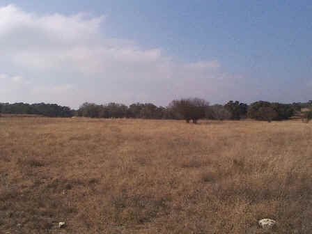
SWMU B-27 Facing West - January 1999

Site Status: Closed (December 2011)

Background

Description in Current Conditions Report (July 1999)

Chronology

Aerial Photograph

Figure B27-1 Plan View Map

Plans (Volume 1-2)

RL17 RFI Work Plan (February 1996)

RL17 Work Plan Amendment for Data Quality Rework (May 2000)

Storm Water Pollution Prevention Plan (February 2011)

Final Work Plan/Sampling and Analysis Plan (February 2011)

Work Plan and Sampling and Analysis Plan Addendum (February 2011)

RFI and Interim Measures Waste Management Plan Addendum (February 2011)

Investigation Reports (Volume 3-1)

RCRA Facility Investigation Report (July 2002)

Release Investigation Report (September 2011)

Tables

Table B27-1  Summary of Chemical Constituents Detected in Surface Soil (March 2000)

Table B27-2  Summary of Chemical Constituents Detected in Subsurface Soil and Rock (March 2000)

Figures

Geophysical Anomaly Map

Figure B27-1  Sample Location Map (July 2002)

Figure B27-2  Soils and Topographic Map (July 2002)

Figure B27-3  Geologic Setting (July 2002)

Figure B27-4  Sample Location Map (July 2002)

Figure B27-5  In-Phase Electromagnetic Data (July 2002)

Figure B27-6  Quadrature Phase Electromagnetic Data (July 2002)